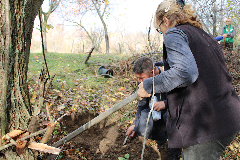
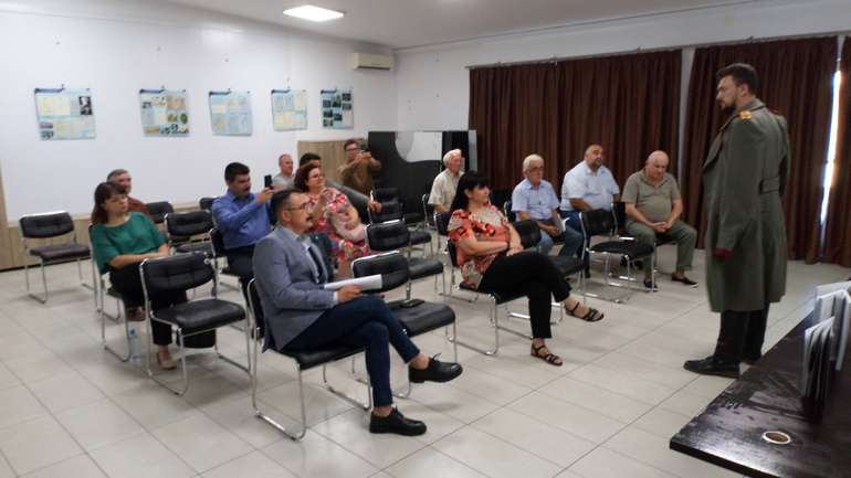
After successful archaeological research in Ivkovački Prnjavor, the archeological team of the Regional Museum of Jagodina: Sonja Perić and Smiljana Dodić, in cooperation with the experts of the Archaeological Institute: Peter Milojević and Aleksandar Kapuran, continued the research of the territory of the city of Jagodina., through the project “Systematic archaeological prospecting of the Jagodina region”, which was supported by the Ministry of Culture and Information of the Republic of Serbia.
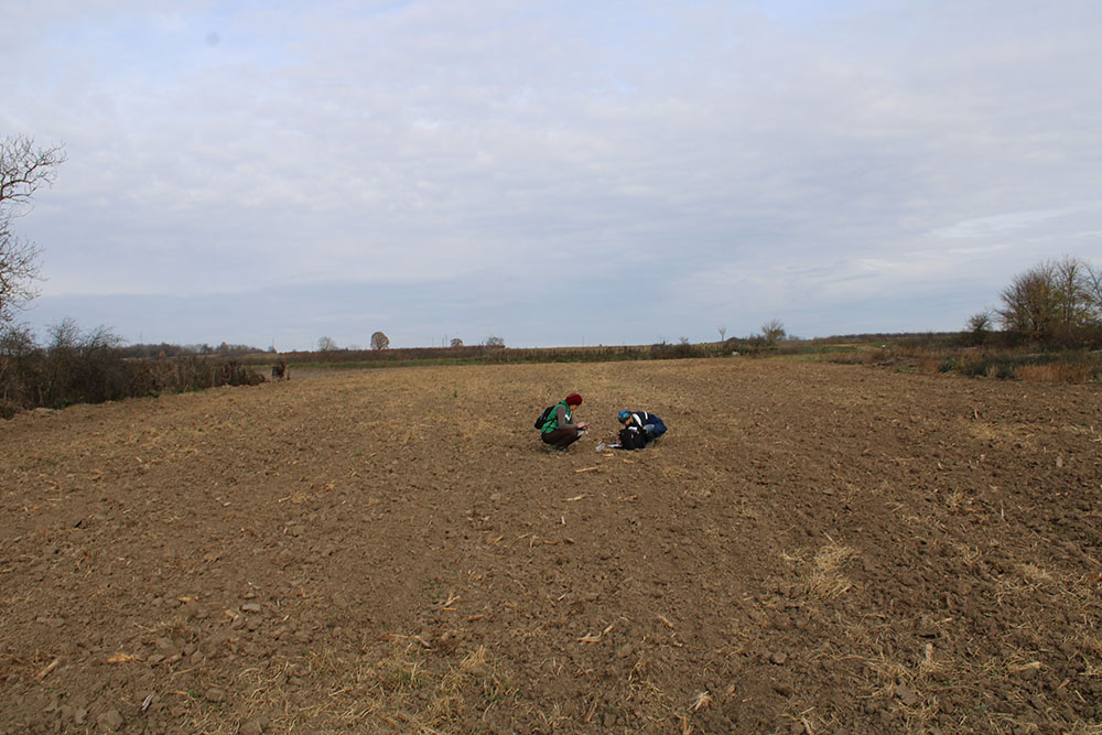
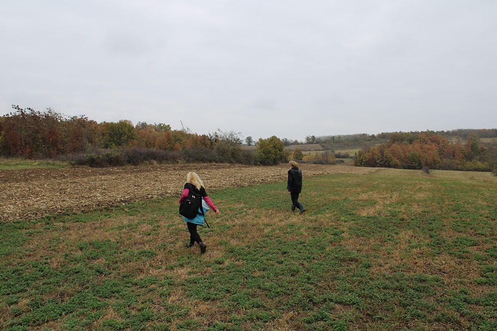
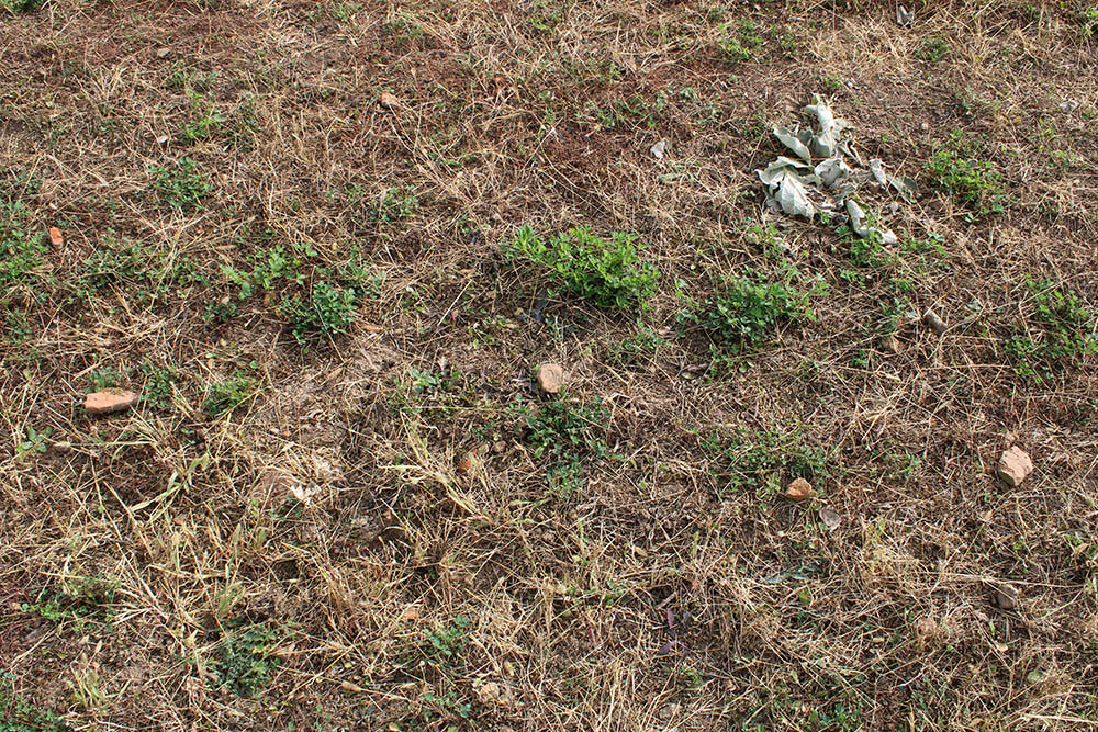
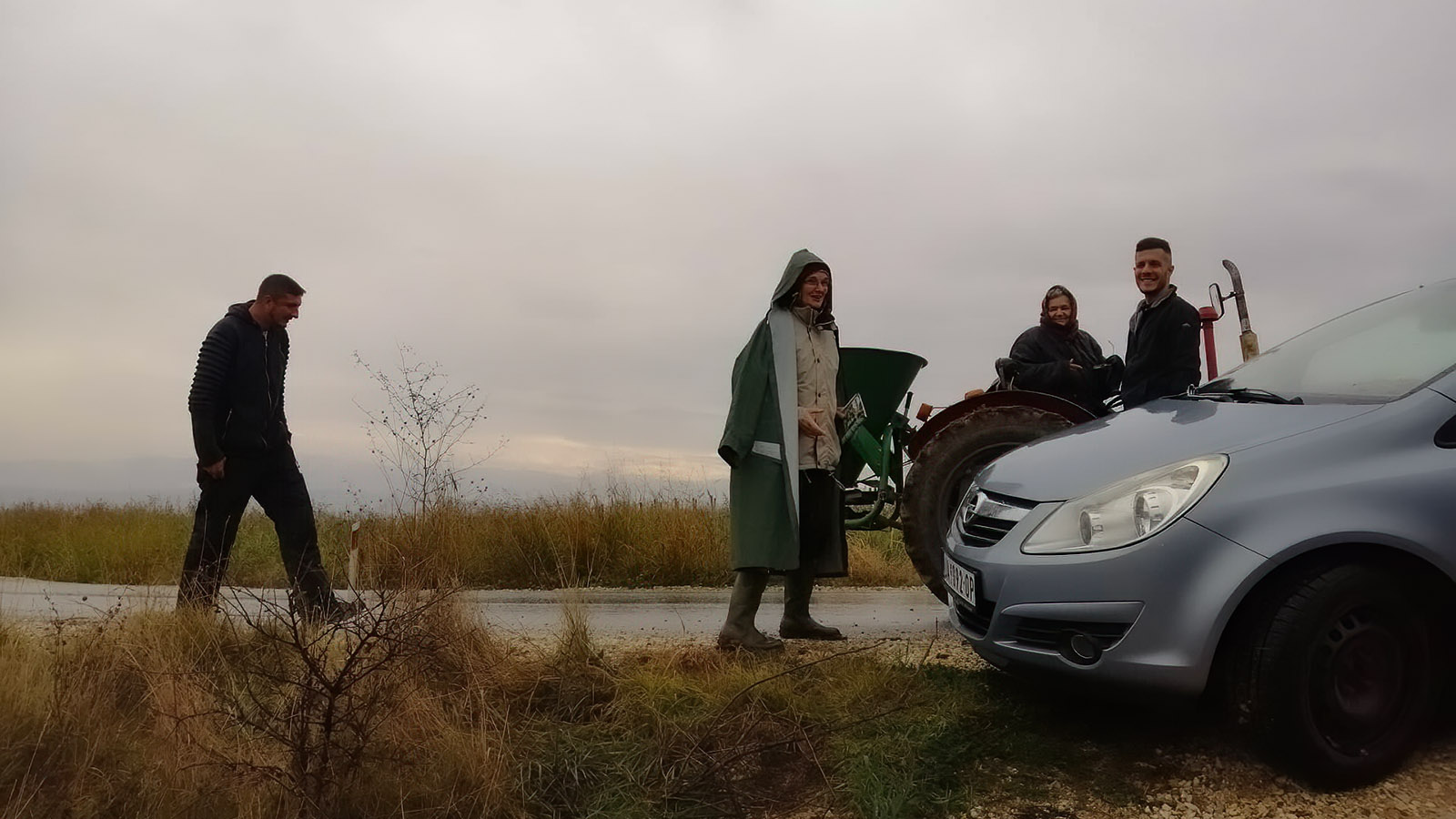
Late autumn, when the vegetation is decreasing, when the harvest has been harvested from the fields, and the arable fields are being prepared for new sowing, is the ideal time for reconnaissance, tour of the terrain, discovery and recording of archaeological sites. The large territory of Jagodina with 52 villages and the wealth of archeological material, which the land hides, caused this project to be planned as a multi-year project. In the first campaign, which began on November 7, 2022, we are planning a tour of fifteen villages in the Belica river basin and on the slopes of Crni vrh.
It was confirmed a long time ago that the Jagodina area was inhabited from the Early Neolithic through all periods of the past, and the main advantages are the mild climate, the fertile river valley, the wealth of springs, smaller rivers and streams, the mineral wealth of the mountainous hinterland and the geographical position on one of the most important Balkan roads.
Thanks to the dedicated work of the experts of the Regional Museum of Jagodina since its establishment, primarily archaeologists Savo Vetnić and Milorad Stojić, 269 archaeological sites have been recorded on our territory, from prehistory to the Middle Ages, and mobile material has been collected that is being preserved. In the Regional Museum of Jagodina, and archaeological excavations were carried out at 27 sites. However, due to incomplete documentation and the lack of modern technologies in the past, we do not have their precise spatial positioning for most of these sites. The goal of these reconnaissances is to systematize, revise and supplement existing data, find previously discovered sites and discover new ones and determine the GPS coordinates where they are located, as well as determine the characteristics of the settlement pattern and potential economic activities of the settlements in the context of their environment during different periods of the past.
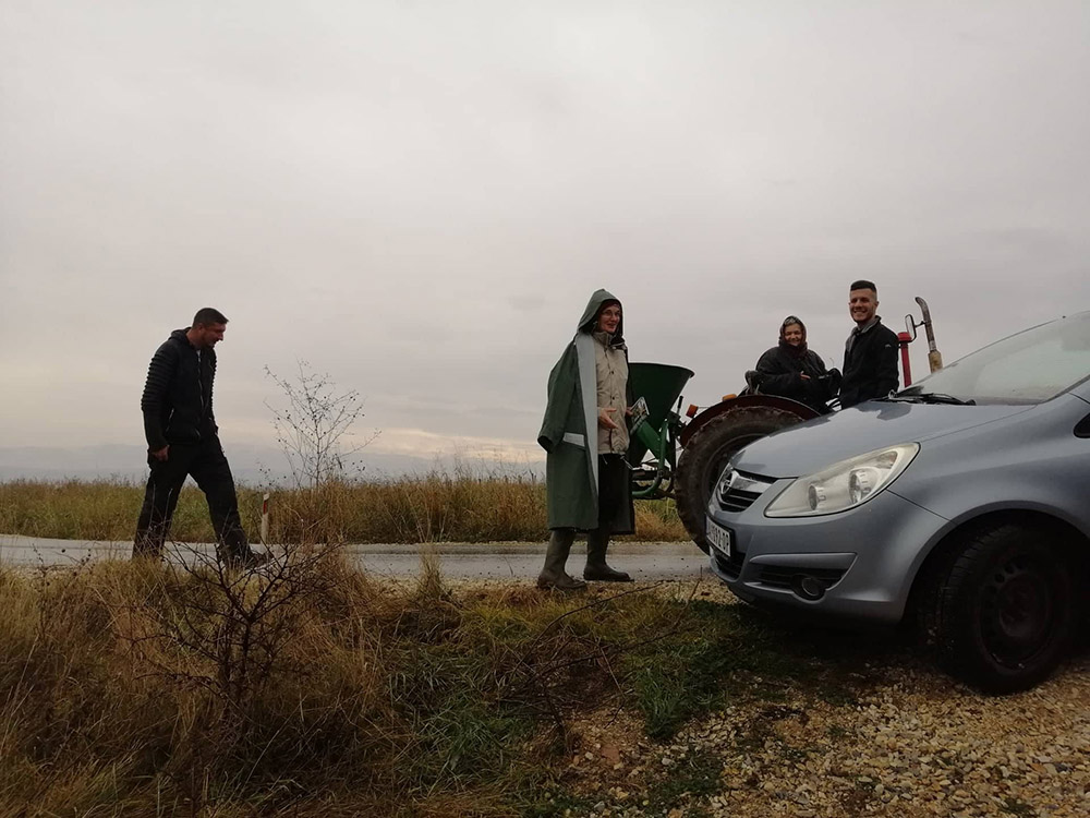
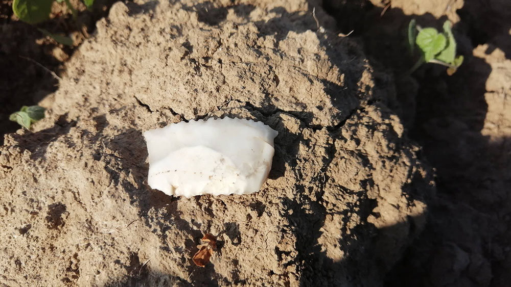
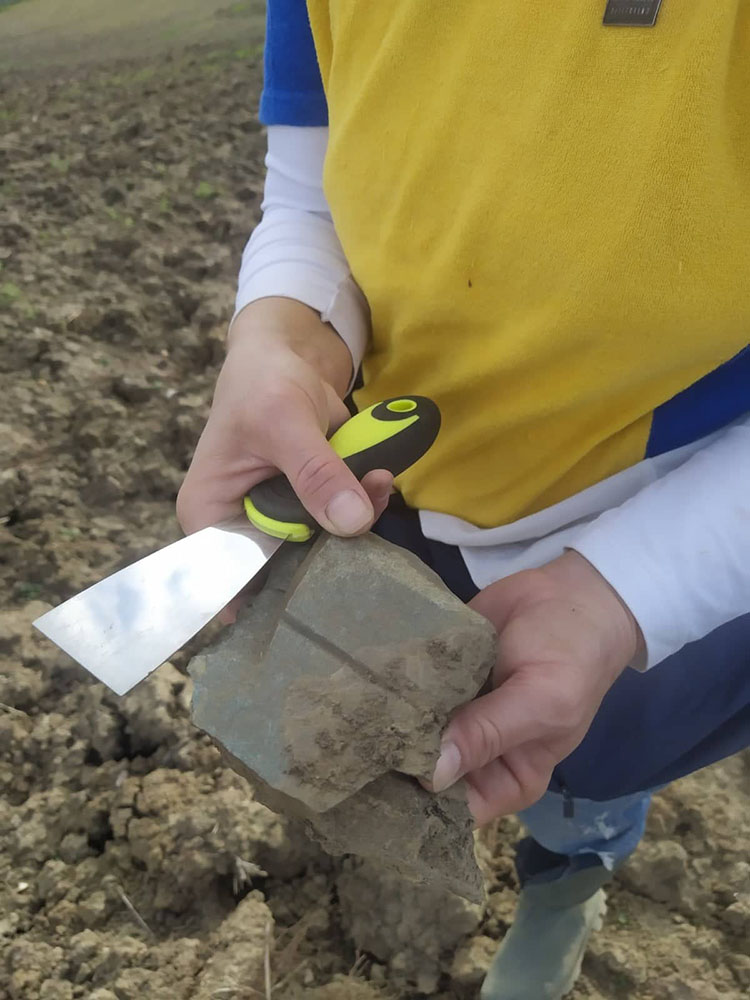
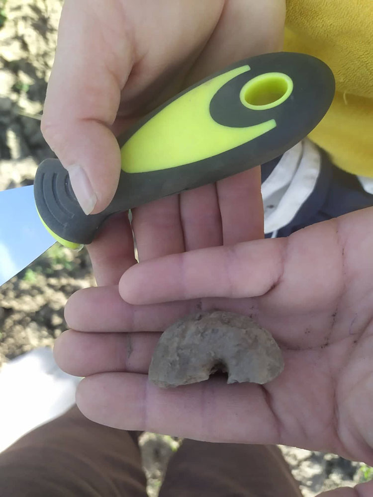
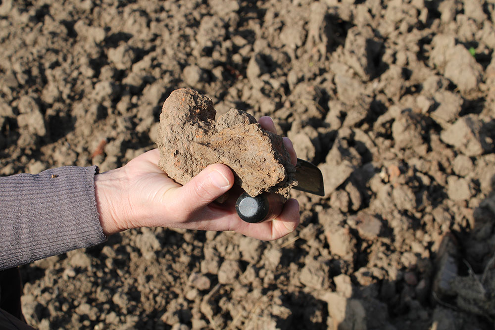
In cooperation and with the support of the president of the local communities and in the conversation with the inhabitants of the villages we visit and their precious movements, we get valuable information about toponyms, the locations we are looking for and the steps at which archaeological material appears during the cultivation of the land, as well as the sources of raw materials, clay pits, hot springs, flint deposits etc.
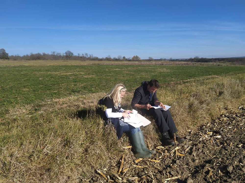
By a detailed analysis of the data obtained in the field, by comparing the old documentation and materials of the Museum with the newly discovered findings, we will obtain precise data on the number of localities, their exact location, distribution, type and stylistic-typological characteristics of the materials, chronological orientation and the cultures that existed here, as a prerequisite for the creation of a detailed map of archaeological sites on the territory of Jagodina, which completes the archaeological map of Serbia. By recording, publishing and registering archaeological sites, we protect and preserve our archaeological and cultural heritage, and thus our country.